Urban Mapping
Track urban sprawl, new construction and territorial change.
Smart City & Intelligent Territories
Space in service of smarter territories
Satellites continuously observe, measure and analyse the evolution of territories. Combined with artificial intelligence, this data enables local authorities and infrastructure operators to better understand their environment, anticipate risks and make more effective decisions.

Context
Every day, cities produce millions of data points. Yet local data alone does not always provide a comprehensive, coherent picture of the territory.
Earth observation adds an additional layer of information. This continuous, objective view helps guide investment and improve the management of public services.
Capabilities
Six observation families to understand, measure and anticipate territorial evolution from orbit.
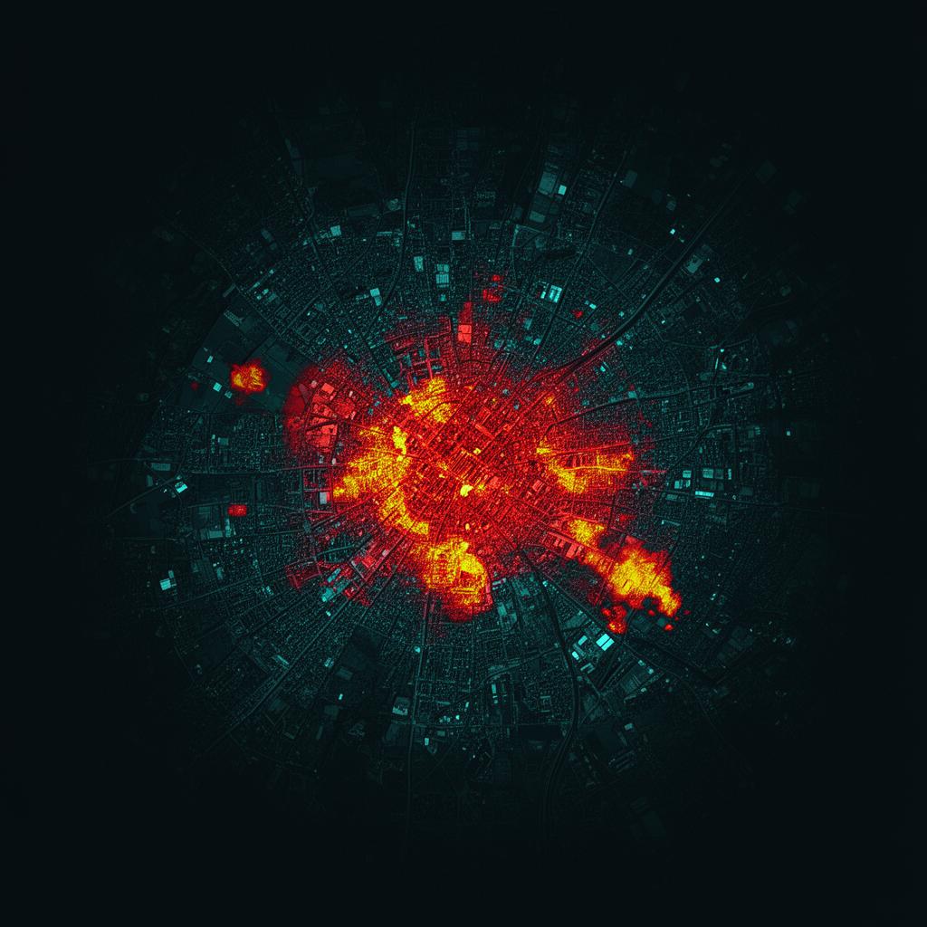
Track urban sprawl, new construction and territorial change.
Identify the neighbourhoods most exposed to extreme heat.
Analyse traffic flows and territorial dynamics.
Measure the evolution of natural and built surfaces.
Monitor vegetation, moisture levels and the health of green spaces.
Monitor flooding, ground movement and drought.
Thermal mapping of the most exposed neighbourhoods.

Analysis of traffic flows and territorial dynamics.
Use Cases
Optimising land-use and planning policies.
Infrastructure planning and development.
Resource management and crisis anticipation.
Monitoring of critical infrastructure.
Flow analysis and service adaptation.
Monitoring urban projects and measuring their impacts.
Method
A continuous value chain, from orbital observation to operational action.
Continuous observation from orbit.
Imagery, radar and geolocation.
Sensors, GIS and business databases.
Clear, actionable indicators.
Targeted decisions and interventions.
Results
Why Hyperion
We select the most relevant technologies for your business challenges.
Access to the full European and international space ecosystem.
Transforming space data into directly actionable indicators.

Perspectives
The future of Smart Cities rests on the convergence of several complementary building blocks.
This combination enables the construction of dynamic territorial representations capable of anticipating change and helping decision-makers act more quickly.
Let's take action
Space is no longer reserved for space agencies. It is becoming an everyday tool for better understanding, managing and developing territories.
Explore
Space is transforming many fields. Move from one sector to another to explore what orbital data can bring to your business.