Reservoirs & water storage
Track changes in water levels and volumes available for energy production.
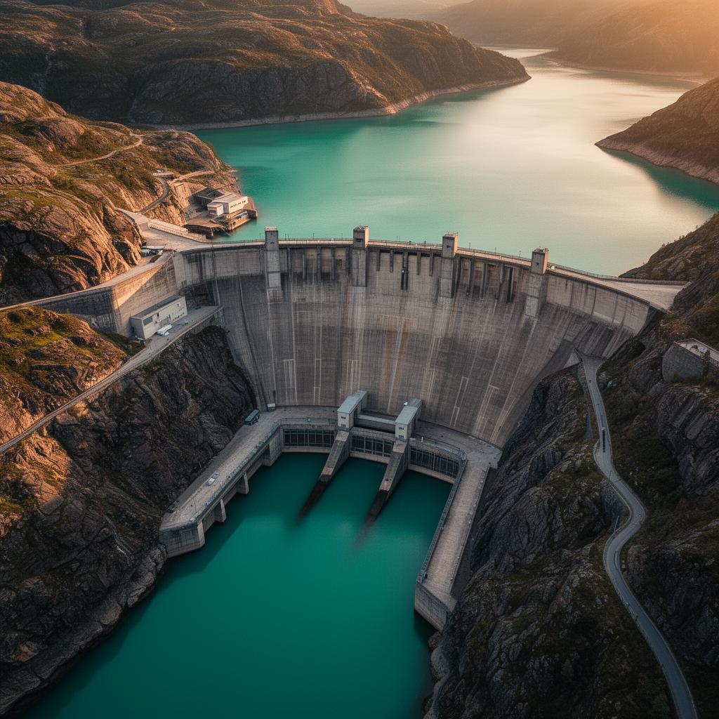
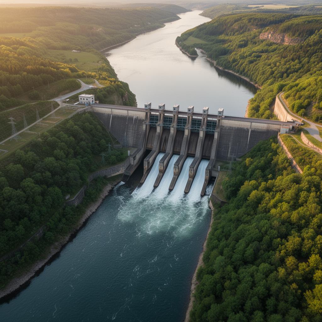
Hydroelectricity & hydraulic infrastructure
Monitor catchments to optimise energy operations
Dams and hydraulic infrastructure are directly dependent on climatic conditions, water resources and the stability of their surroundings.
Space technologies make it possible to monitor catchment areas, anticipate risks and optimise operations across an entire territory.

Context
Hydroelectric production depends on a complex balance between climate, precipitation, water resources and infrastructure operations.
Satellites offer a unique capability to observe changes in water reserves, precipitation, soil moisture, ground movements and the impacts of climate change.
This global view improves:
Capabilities
Six observation families to secure, understand and anticipate hydraulic operations from orbit.
Track changes in water levels and volumes available for energy production.
Understand the hydrological dynamics that feed hydraulic infrastructure.
Analyse rainfall events and their future impact on water resources.
Measure water-resource stress and anticipate shortages.
Detect deformations that could affect the structural stability of assets.
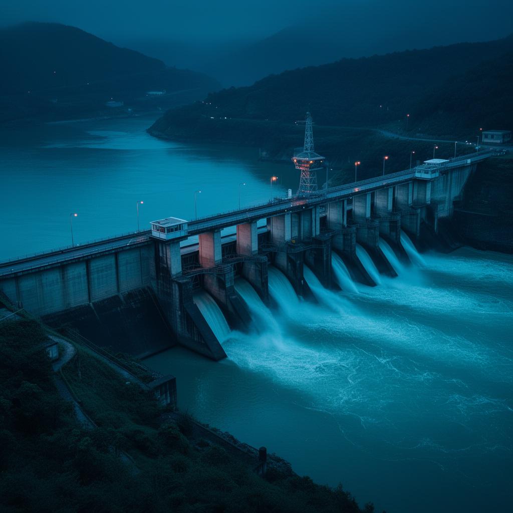
Anticipate flood events and strengthen territorial risk management.

Understanding hydrological dynamics at territorial scale.
Detection of ground movements and continuous monitoring of structures.
Use cases
Optimise production output and installation availability.
Strengthen monitoring of assets and their surrounding environment.
Integrated management of water resources at territorial scale.
Natural-risk prevention and crisis management.
Assessment and monitoring of climate risks on infrastructure assets.
Improve the resilience of strategic hydraulic assets.
Method
A continuous value chain, from orbital observation to operational management.
Monitoring of water resources.
Detection of millimetre-scale ground movements.
Precipitation forecasting and extreme-weather prediction.
Modelling and anticipation of change.
Optimisation of operations and management.
Applications
Four scenarios where space data transforms how hydraulic operations are conducted.

Anticipate volumes available for energy production through satellite observation of catchments and precipitation.
Monitor the condition of structures and their environment using satellite radar and artificial intelligence.

Prepare operations before extreme events using satellite mapping of flood-prone zones.
Align operating strategies with hydrological forecasts to maximise generation output.
Results
Convergence
Space data now enables the creation of dynamic digital models incorporating water levels, precipitation, catchment areas, infrastructure, operational data and natural risks.
These digital twins provide a comprehensive view enabling operators to anticipate changes and make faster, better-informed decisions.
Climate
The growing frequency of droughts, floods and extreme events is profoundly changing the operating conditions for hydraulic infrastructure.
Space technologies offer a unique capability to measure these changes and adapt water-resource management strategies in the face of tomorrow's climate challenges.
Why Hyperion
We select the most appropriate technologies for your hydraulic and energy challenges.
Cross-referencing of satellite, meteorological, hydrological and operational data.
Turning complex data into actionable tools for operations teams.
Outlook
Hydroelectric energy plays an essential role in the energy transition and the stability of electricity grids.
To meet tomorrow's climate and operational challenges, operators need a comprehensive, continuous and predictive view of their resources and infrastructure. Space technology is now one of the best tools to meet this requirement.

Let's take action
Discover how space technologies can strengthen the safety, performance and resilience of your dams and hydraulic networks.
Explore
Space is transforming many fields. Move from one sector to another to explore what orbital data can bring to your business.