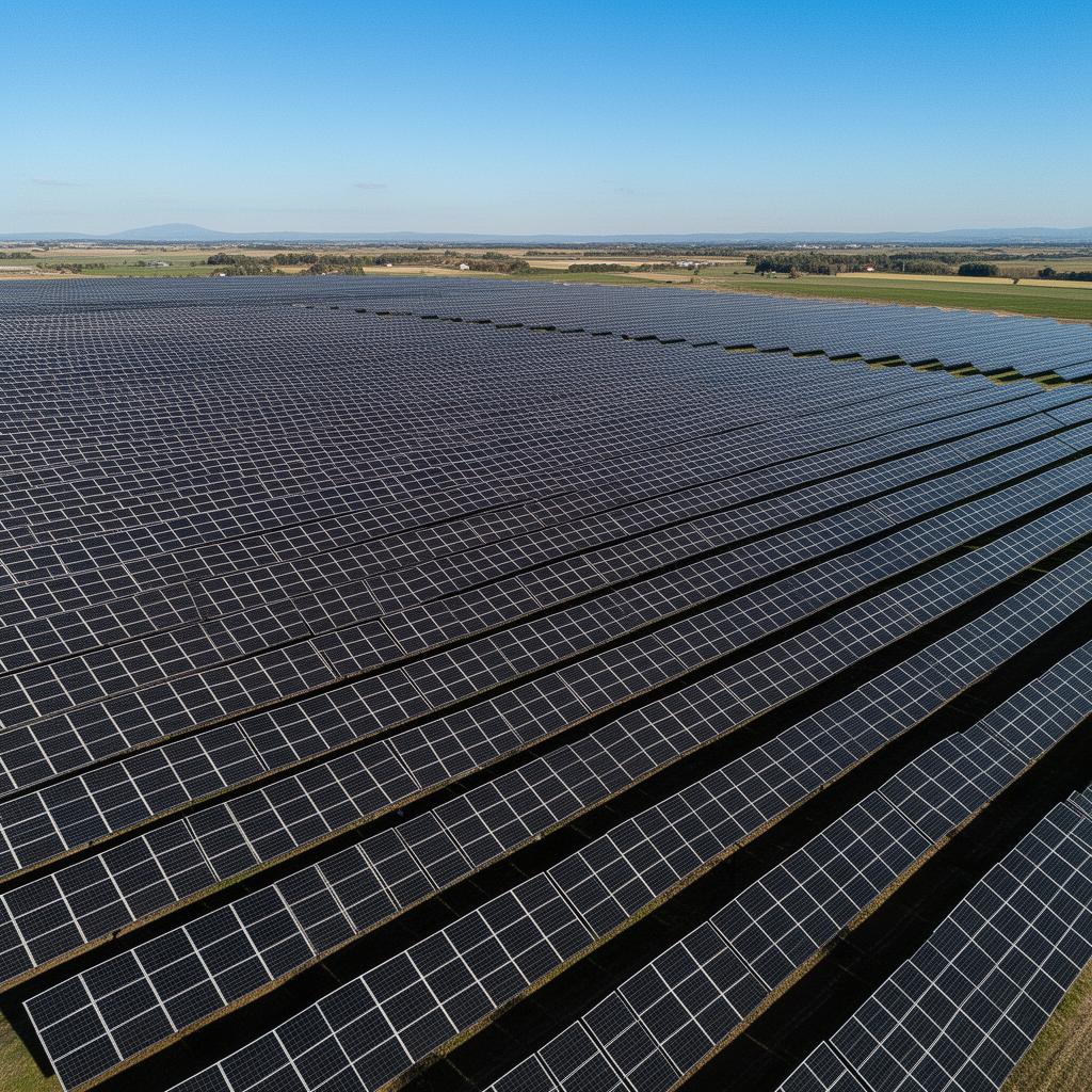
Solar Potential
Measure solar irradiance and identify the highest-performing zones for photovoltaic installations.
Renewable Energy
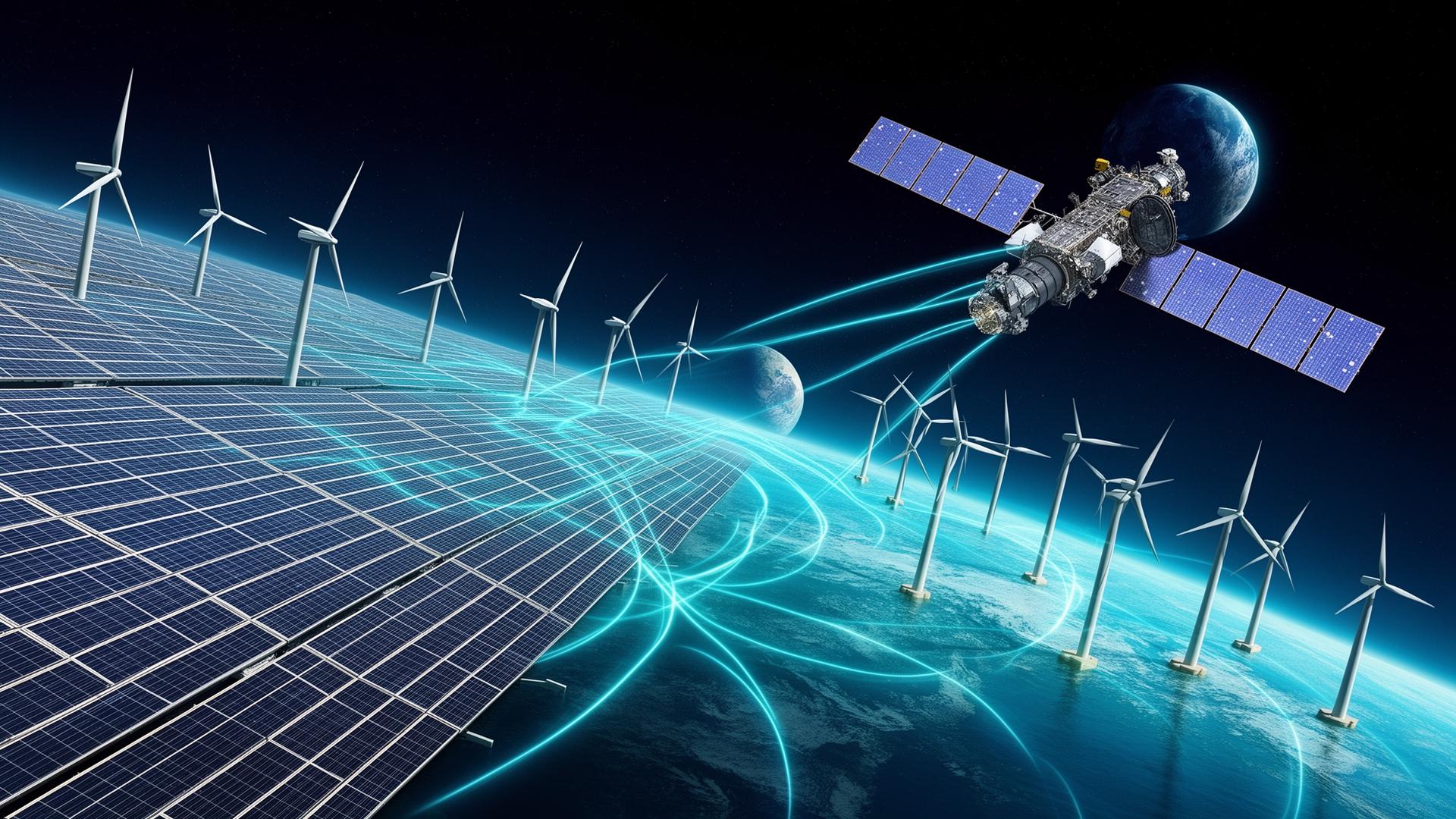
Space technology serving the energy transition
Even before construction begins, satellites enable the identification of the best sites, assessment of their potential and anticipation of environmental constraints.
Once operational, they help optimise production, monitor assets and strengthen the resilience of energy infrastructure.
Context
The success of a renewable energy project depends on a thorough understanding of the territory, climate conditions and environmental constraints.
Satellites provide a global, continuous and objective view that reduces uncertainties and secures investments.
This permanent observation capability enables organisations to:
The energy families covered:
Capabilities
Six analysis families to develop, optimise and secure renewable energy projects from orbit.
Measure solar irradiance and identify the highest-performing zones for photovoltaic installations.
Evaluate onshore and offshore wind resources to size wind energy projects accurately.
Identify regulatory, environmental and land constraints from the earliest project phase.
Analyse droughts, floods, storms and extreme events over the long term.
Compare actual output against environmental conditions to optimise yield.
Track land transformations around infrastructure and anticipate future changes.
Measuring solar irradiance and identifying the highest-performing zones.

Evaluating onshore and offshore wind resources.
Use Cases
Site identification and qualification.
Optimising asset performance.
Risk reduction and project security.
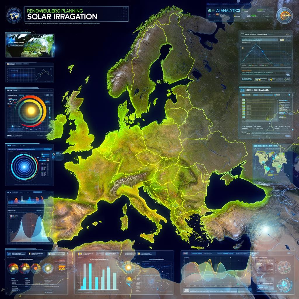
Territorial energy planning.
Anticipating demand and adapting infrastructure.
Decarbonisation and energy autonomy.
Methodology
A continuous value chain, from orbital observation to operational management.
Analysis of territory and resources.
Historical records and long-term forecasts.
Modelling energy potential.
Selecting optimal locations.
Continuous operational management.
Improving performance over time.
Applications
Four scenarios in which space data transforms the management of energy projects.
Rapid identification of the best installation zones using satellite mapping.
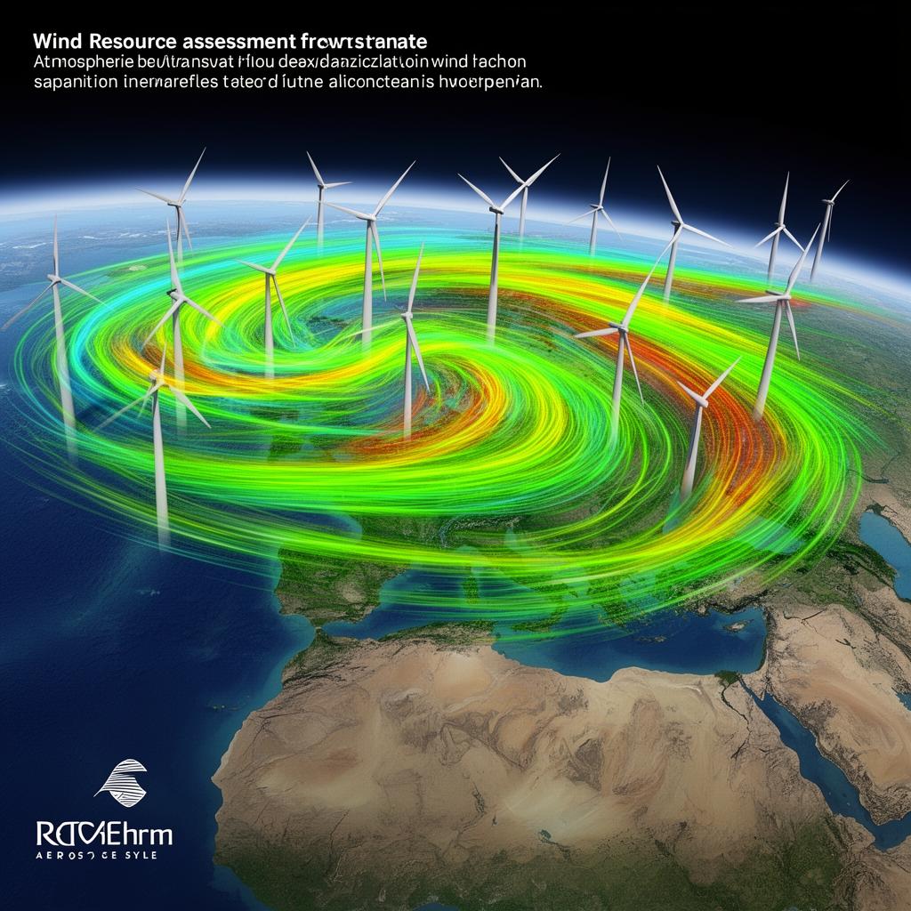
Detailed analysis of wind resources to size and position wind farms optimally.

Joint optimisation of agricultural and energy uses on the same land.
Identifying the most favourable territories for renewable hydrogen production.
Outcomes
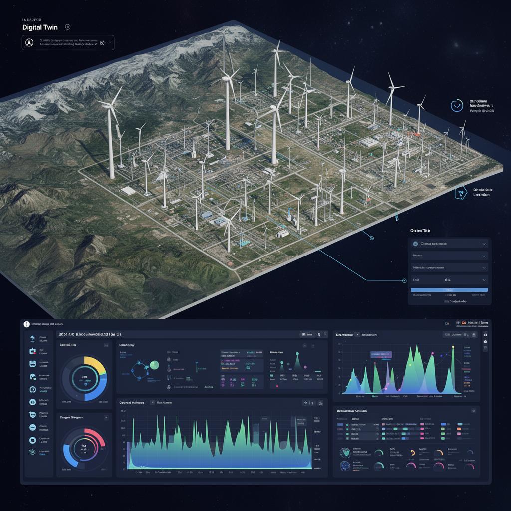
Convergence
Space data now enables the creation of dynamic digital representations of energy infrastructure.
These digital twins integrate satellite, meteorological, operational and environmental data. They provide a complete view of assets and facilitate both strategic and operational decisions.
Why Hyperion
We select the space technologies best suited to your energy challenges.
Cross-referencing environmental, climate and industrial data.
Transforming space data into actionable decision-support tools.

Outlook
The growth of renewable energy depends on a deeper understanding of territories, natural resources and risks.
Space technology now provides this indispensable global view for designing, operating and securing the energy infrastructure of tomorrow.
Let's take action
Discover how space technologies can improve the performance, profitability and resilience of your renewable infrastructure.
Explore
Space is transforming many fields. Move from one sector to another to explore what orbital data can bring to your business.