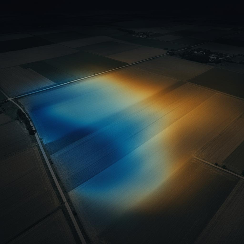
Crop Health
Identify growth variations and areas of vegetation stress.
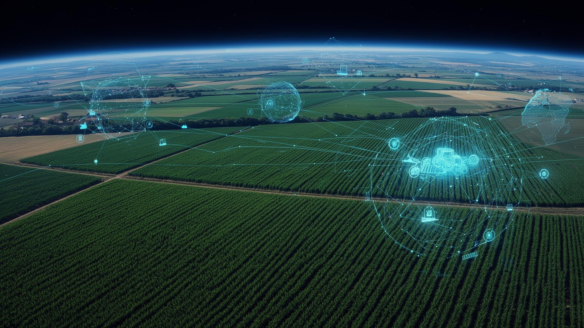
Agriculture & Territories
Observe today to produce better tomorrow
Satellites provide continuous monitoring of crops, soils, water resources and the evolution of territories.
Combined with artificial intelligence, this data enables risk anticipation, resource optimisation and faster, better-informed decisions.
Context
Agriculture and territorial planning face major challenges: climate change, pressure on water resources, shifting land use, growing environmental requirements and yield volatility.
Satellites make it possible to continuously observe the evolution of crops, ecosystems and territories so as to act more quickly and effectively.
The challenges space technology addresses :
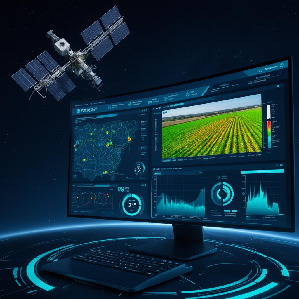
Capabilities
Six observation families to understand, measure and anticipate the evolution of agricultural and natural territories.
Identify growth variations and areas of vegetation stress.
Monitor soil moisture levels and water requirements.
Detect the impacts of droughts, frosts or heatwaves.
Measure agricultural, urban and natural land changes.
Monitor the health of forest areas and ecosystems.
Anticipate floods, wildfires and ground movements.
NDVI analysis and identification of vegetation stress zones.
Monitoring of soil moisture and optimisation of irrigation.
Use Cases
Crop management and input optimisation.
Large-scale production monitoring.
Sustainable resource management and territorial planning.
Monitoring of natural spaces.
Risk assessment and evaluation of climate impacts.
Decision support and territorial policy-making.
Method
A continuous value chain, from satellite observation to operational decision-making.
Analysis of crops and territories.
Monitoring of weather conditions.
Anomaly detection and modelling.
Visualisation of key indicators.
Targeted and optimised actions.
Applications
Four scenarios where space data transforms agricultural performance and territorial management.
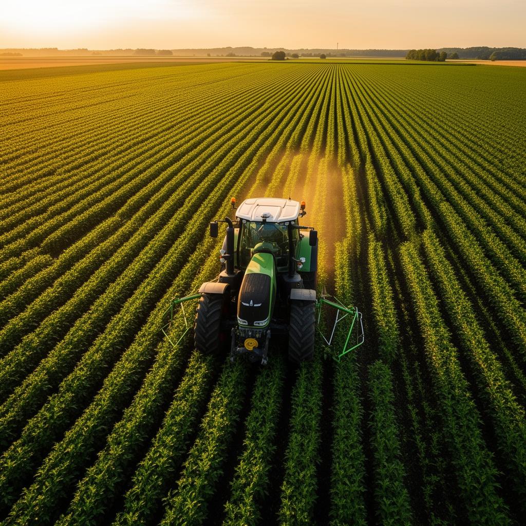
Optimise the use of water, fertilisers and resources through satellite analysis of fields.
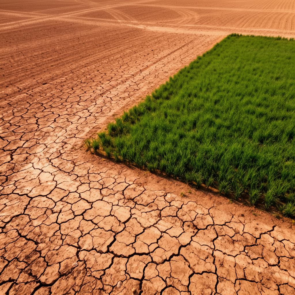
Identify the most vulnerable areas before impacts emerge through soil moisture monitoring.
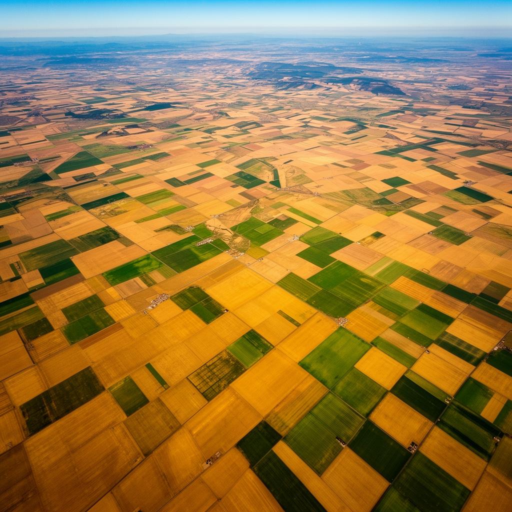
Measure performance at territorial scale to secure supply chains and investments.
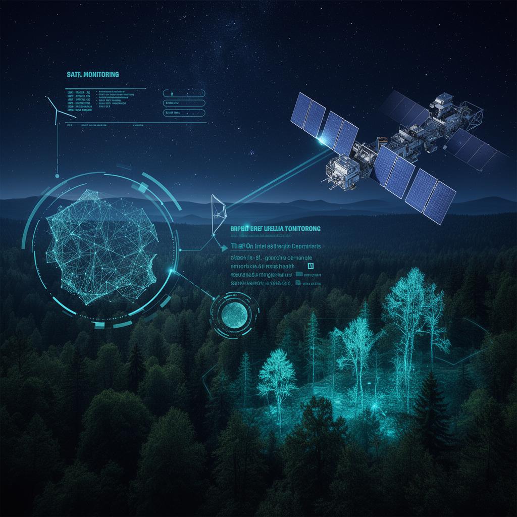
Detect stress and health risks in forest areas at an early stage.
Outcomes
Sustainable Agriculture
In the face of climate and demographic challenges, the ability to produce more with fewer resources is becoming strategic.
Space technologies give farmers and decision-makers a global perspective, enabling them to better understand territorial dynamics and adapt their practices to environmental realities.
Perspectives
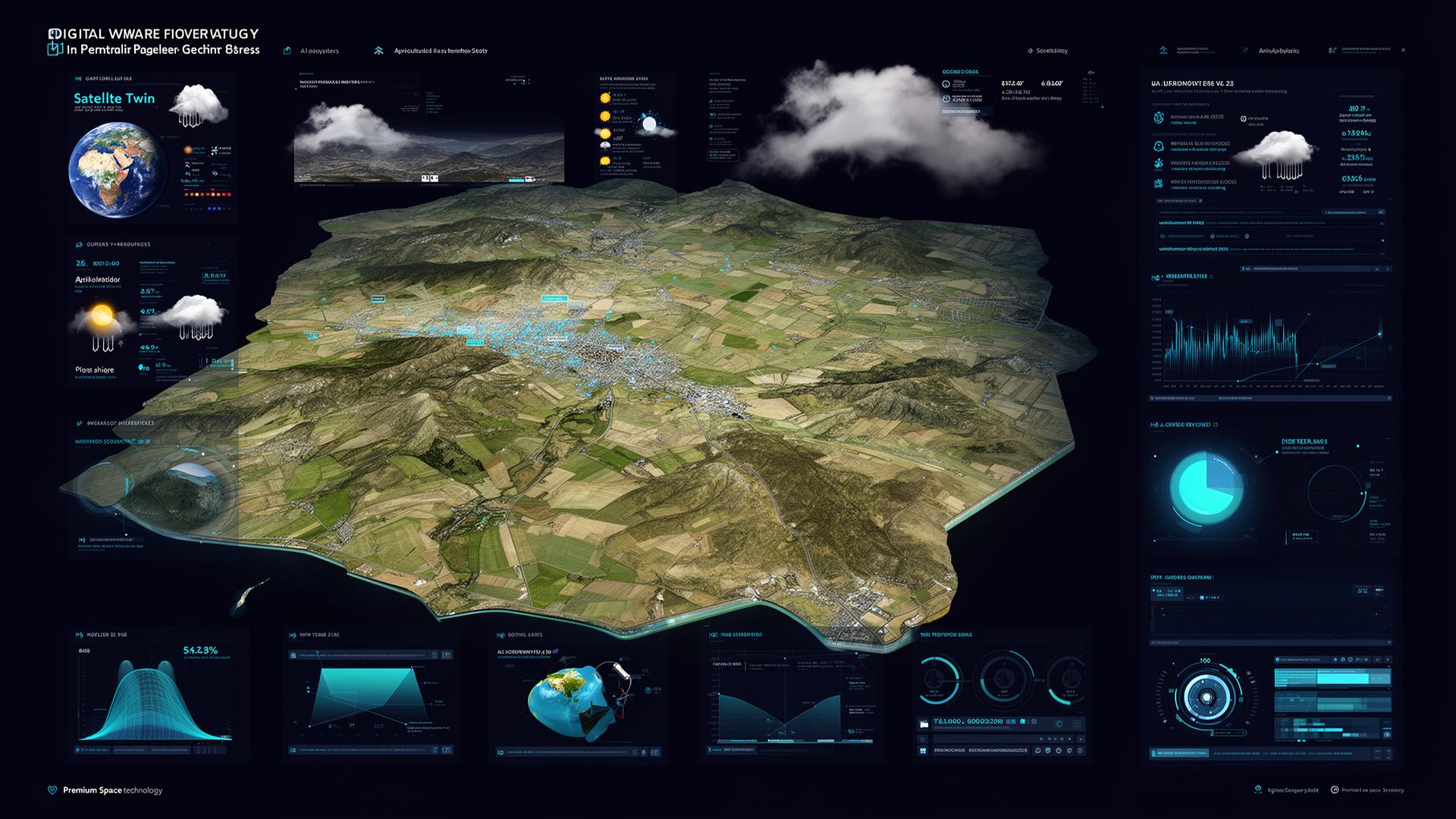
Space data now makes it possible to build dynamic digital representations of agricultural territories.
These models integrate crops, weather, water resources, infrastructure, biodiversity and economic data. They facilitate planning, risk management and investment decisions.
Why Hyperion
We select the technologies best suited to agricultural and territorial challenges.
Cross-referencing of satellite, meteorological and field data.
Transforming complex data into ready-to-use decision-support tools.
Perspectives
Agriculture and territories are entering a new era. Through space technology, it becomes possible to continuously monitor natural resources, human activities and environmental changes in order to build more resilient, more productive and more sustainable territories.
Let's take action
Discover how space technologies can strengthen agricultural performance, resource management and territorial resilience.
Explore
Space is transforming many fields. Move from one sector to another to explore what orbital data can bring to your business.